Put it where it is going to be.
A new drawing in SvgCAD is nowhere: no latitude, no longitude, no imagery, until you give it a place. Once you do, the sun is the one that site gets, the imagery is laid on the ground at true scale, and you can walk the result at eye height.
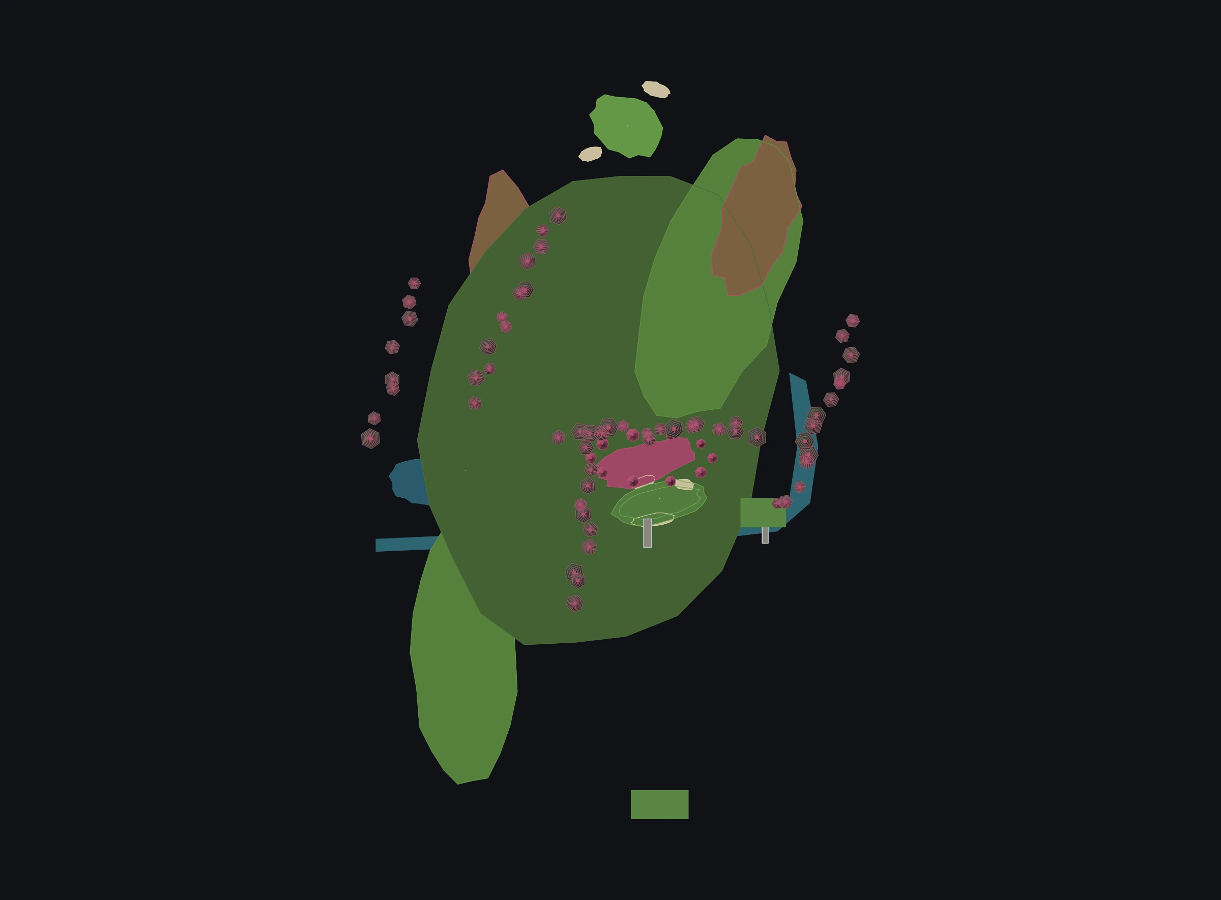
The place§12
Nowhere, until you say where.
A drawing that quietly claims to be in London is worse than one that admits it has not been placed. So there is no default location, and nothing about the sun or the ground is guessed.
- Project location: site name, latitude, longitude, north rotation and date.
- Sun from the site by the NOAA solar position equations, so shading and ground shadows are the ones that site actually gets. Checked at Farnsworth on 21 June: 71.8° at noon, due south.
- Satellite imagery — keyless, laid on the ground plane at true scale from the site’s latitude, holding under the model in orbit.
- Terrain from an elevation service, draped with the imagery, is partly built: the model does not yet stand on it, and the ground is still flat in plan. coming
- Ground from a DEM refined by survey, as one spatial frame everything sits in. coming
The ground§13
A fairway in the layer’s ink is not a fairway.
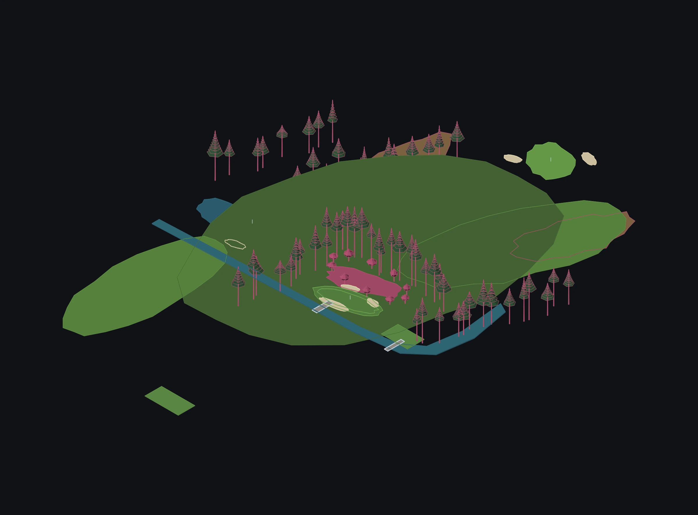
Style in SvgCAD belongs to the layer, never to the object — one deliberate exception. Landscape and golf finishes render by material colour, because ground that reads as ground is the whole point of a landscape drawing.
- Ground finishes — landscape and golf materials — render by material colour.
- Palms as parametric low-poly trees: height, trunk taper and segments, lean and bearing, frond count, length, width and twist.
- More trees. coming
- Roads with an alignment and a profile taken from the ground, and services networks hosted on them. coming
The walk§12
Eye height, real lens, real time of day.
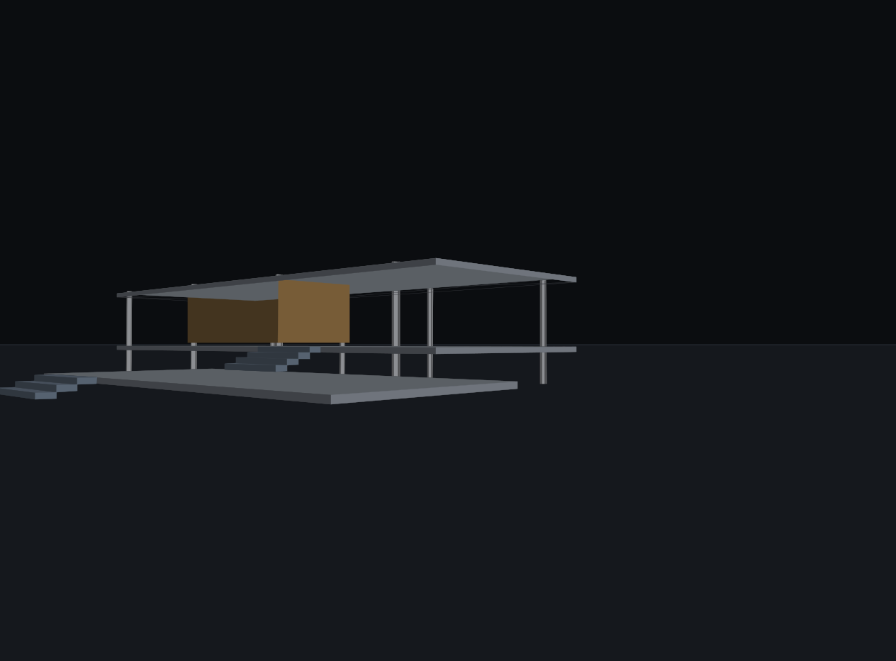
Camera mode is a walk, not a fly-through on rails: the eye falls to 1700 above whatever is under it and steps up onto anything within 450, so a stair carries you up it. The lens is a focal length in millimetres on a 35 mm frame.
- Camera mode with W A S D and mouse look, shift to run, space to fly, scroll to zoom the lens; time-of-day slider in the camera HUD.
- Shadows are planar and land on the ground only; there is no collision, so only the floor stops you. coming
- Vehicles, camera paths and video export. coming
Give us a site.
A latitude, a longitude and a brief is enough to see whether this is useful to you.